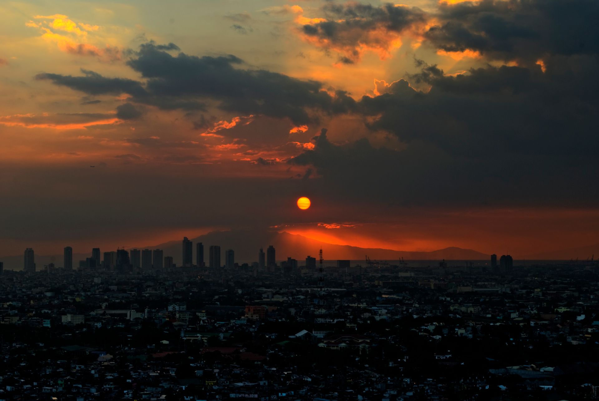

Where to See Volcanoes in the Philippines: Taal, Mayon, Pinatubo and Hibok-Hibok
Most volcano trips in the Philippines focus on four peaks: Taal in Batangas, viewed from the Tagaytay ridge; Mayon in Albay, viewed from around Legazpi; Pinatubo, on the boundary of Pampanga, Tarlac and Zambales, where you hike to the crater lake; and Hibok-Hibok on Camiguin Island. The PHIVOLCS list of active volcanoes has 24 entries, but most are not on any tourist route. Here is the short verdict on each, with links to the full guides.
- Taal (Batangas). A volcano island inside a lake, with a crater on the island, seen from viewpoints along the Tagaytay ridge. It has also been one of the most restless in recent years: the PHIVOLCS eruption history groups a string of phreatic and phreatomagmatic events between April 12, 2024 and July 21, 2026 as Taal eruption number 36. Verdict: look from Tagaytay, do not go onto the island. The day plan is in our Tagaytay day trip guide.
- Mayon (Albay). Famous for its near-symmetrical cone, with Legazpi City as the base and the Cagsawa Ruins as the classic photo spot. Verdict: fly in, stay 2 nights and watch from outside the 6-kilometre Permanent Danger Zone. Viewpoints, days and food are in our Mayon Volcano guide.
- Pinatubo. PHIVOLCS labels its Plinian eruption of June 9 to September 4, 1991 the "eruption of the century" and the most destructive on record. Today the draw is the crater lake left behind. The usual approach is from the Capas side in Tarlac: a 4x4 ride through the lahar canyons, then a walk to the lake. Verdict: good for reasonably fit travellers who can start early; whether the trail is open and how to register depends on current local government notices.
- Hibok-Hibok (Camiguin). PHIVOLCS records a new crater opening on April 30, 1871, and further eruptions from 1948 to 1951, the most violent on December 4, 1951, with about 500 casualties. Visitors experience the hot springs, cold springs and landforms the volcano left. Verdict: great for slow travel, but the hardest to reach; see our Camiguin Island guide.
Two more volcanoes appear often in the news: Kanlaon on Negros and Bulusan in Sorsogon. Neither is a sightseeing destination right now; just check their bulletins and watch for ash if your route passes nearby. Kanlaon's current episode is recorded from June 3, 2024 through August 24, 2026, including an explosive eruption on July 9, 2026. Bulusan is not far from Mayon, so anyone extending a Mayon trip south into Sorsogon should look at its bulletin too. To weigh volcanoes against the country's other highlights, start with our guide to the top attractions in the Philippines.
Planning From Manila: a Nearby Day Trip, a Long Day North, or a Flight
From Manila, volcano trips fall into three shapes: Taal as a same-day return, Pinatubo as a long day north, and Mayon or Camiguin as a flight with at least 2 to 3 nights. Distance is rarely the real problem. Last-minute changes caused by alert levels, heavy rain or ashfall are, so every plan needs slack.
- Nearby day trip: Taal. Tagaytay sits on a ridge in Cavite, south of Manila. Leave early, see the lake in the morning, have lunch and head back in the afternoon. Weekend traffic, viewpoints and restaurants are covered in the Tagaytay day trip guide, so we will not repeat them here.
- A long day north: Pinatubo. Drive north on the expressways to the Capas area in Tarlac, switch to a local 4x4, then finish on foot. Expect to leave before dawn; the 4x4 stretch is bumpy and the walk is exposed to the sun, so think twice with older relatives or anyone with back problems. In the rainy season (roughly June to November), river channels can rise and lahars can form, and local authorities may suspend trips at short notice. If you want an extra night up north, see our Subic and Clark family guide.
- Fly: Mayon and Camiguin. For Mayon, fly to Bicol International Airport in Albay and stay 2 nights in Legazpi. For Camiguin, most people fly into the airport serving Cagayan de Oro, then continue by road and ferry, which takes half a day to a full day each way. Flight and ferry schedules are set by the operators; for luggage limits see domestic flight baggage rules.
Three lessons from experience. First, do not put two active volcanoes on back-to-back days; if either one's alert level rises, everything after it has to move. Second, choose flexible flights and hotels. Third, add 1 buffer day in the wet and typhoon seasons, and check the best months to visit the Philippines before you commit. Of the four volcanoes, only Taal really works as a spur-of-the-moment trip; for the other three, lock in transport 2 to 4 weeks ahead.
Want volcanoes and islands combined into one trip without watching bulletins yourself? → Yixing custom itineraries · car with driver
How to Check PHIVOLCS Alert Levels: the Status on September 17, 2026
Whether a volcano trip can go ahead depends on one source: the bulletins of the Philippine Institute of Volcanology and Seismology (PHIVOLCS). When we checked on September 17, 2026, the status bar at the top of the PHIVOLCS bulletin page showed Taal at Alert Level 1, Kanlaon at 2, Bulusan at 1, Pinatubo at 0 and Mayon at 2. That is a snapshot of one day. Levels change, so always rely on the live bulletin before you travel.
The 24-hour observation bulletins issued at midnight that day recommended the following:
- Taal, Level 1 (low-level unrest). Listed as "should not be allowed": entry into Taal Volcano Island, the Permanent Danger Zone, especially the Main Crater and the Daang Kastila fissures, together with occupancy and boating on Taal Lake, and flying any aircraft close to the volcano. Possible hazards: steam- or gas-driven explosions, volcanic earthquakes, minor ashfall and lethal accumulations of volcanic gas.
- Mayon, Level 2 (decreased unrest). No entry into the 6-kilometre-radius PDZ and no aircraft near the volcano. Possible hazards: sudden phreatic eruptions, rockfalls or landslides, and lahars during heavy and prolonged rainfall.
- Kanlaon, Level 2 (increased unrest). No entry into the 4-kilometre-radius PDZ and no aircraft near the volcano. Possible hazard: sudden steam-driven eruptions.
- Bulusan, Level 1 (low-level unrest). No entry into the 4-kilometre-radius PDZ, no entry without vigilance into the Extended Danger Zone, and no aircraft near the volcano.
How to read the numbers: the PHIVOLCS alert level page explains that higher levels mean more severe unrest, but each volcano has its own scheme, so Level 1 does not mean the same thing everywhere. Take Pinatubo: at Level 0 no major eruption is foreseen; at Level 1 PHIVOLCS recommends extreme caution when venturing into the caldera; from Level 2 there is no entry into the caldera. Daily bulletins are on the PHIVOLCS bulletin list in English and Filipino, and the archive can be filtered by volcano. You will need that filter for Hibok-Hibok on Camiguin, which was not in the status bar on September 17.
In practice, check three times: when you book, the day before you travel and the morning you set out. If a level goes up, local government evacuation orders and road closures come first. Do not decide for yourself that it is "probably still fine".
Rather not watch the bulletins every day? → Yixing custom itineraries build a backup route into volcano trips
What the Permanent Danger Zone Means: Off-Limits Even at Level 0, and Rain Spreads the Risk
A Permanent Danger Zone (PDZ) is the area PHIVOLCS keeps off-limits around a volcano all year round. A drop to Alert Level 0 does not open it. Mayon's scheme says entry into its 6-kilometre PDZ is still not advised at Level 0 because phreatic explosions and ash puffs can happen without warning, and Kanlaon's Level 0 description warns of perennial hazards, including sudden explosions, rockfalls and landslides, inside its 4-kilometre radius.
The zones differ by volcano:
- Mayon. 6-kilometre radius; at Level 2 it may be extended to 7 kilometres on the sector where the crater rim is low, and at Level 4 extension to 8 kilometres or more is recommended.
- Kanlaon. 4-kilometre radius; at Level 3 the danger zone may be expanded to 6 kilometres from the summit crater.
- Bulusan. 4-kilometre radius plus an Extended Danger Zone that calls for vigilance; at Level 3 danger zones may be expanded up to 8 kilometres.
- Taal. The whole of Taal Volcano Island is the PDZ. The scheme bars permanent habitation on the island even at Level 0, bars entry into the Main Crater, the Daang Kastila fissure area and the Mount Tabaro eruption site at Level 1, and bars entry into the island from Level 2. The Level 1 bulletin of September 17 went further and listed any entry into the island as not to be allowed.
- Pinatubo. The scheme is written around the caldera: extreme caution at Level 1, no entry from Level 2, and evacuation of upland communities within 10 kilometres of the summit caldera at Level 3.
The hazard people forget is the lahar. Mayon's September 17 bulletin lists lahars during heavy and prolonged rainfall as a possible hazard. A 2021 Philippine News Agency report relaying PHIVOLCS also warned residents of Pinatubo's valleys and active river channels to watch for sediment-laden streamflows and lahars in prolonged or heavy rain, and said entry into the crater must be done with caution because of landslides, rockfalls and lethal expulsions of carbon dioxide. In other words, outside the PDZ is not automatically safe. In heavy rain, keep away from rivers and gullies draining the volcano.
To see the hazard assessment for a specific spot before you go, pick the location on the government's HazardHunterPH map. Social media clips of people getting "as close to the lava as possible" were usually filmed inside a danger zone, so do not copy them. For a level-by-level breakdown of Mayon's scheme, see our Mayon alert level section.
How Volcanic Ash Affects Flights and Travel, and What PHIVOLCS Says to Do
For travellers, volcanic ash hits flights and roads first. All four daily bulletins PHIVOLCS issued on September 17 (Taal, Mayon, Kanlaon and Bulusan) listed flying aircraft close to the volcano as not to be allowed, and during eruptions or ashfall flights may be rescheduled, cancelled or diverted. Follow what your airline and airport announce. Mayon's alert scheme adds that at Level 5 aircraft face danger from ash clouds, depending on eruption column height and wind drift.
Ash can travel a long way. The PHIVOLCS eruption history records that when Taal erupted on January 12, 2020, its steam-laden tephra column reached 10 to 15 kilometres, 2 to 3 centimetres of wet ash fell around Mt. Sungay in Tagaytay, and ash also reached places such as Santa Rosa, Laguna. Ash from Pinatubo in 1991 was carried by a typhoon as far as Cambodia and Palawan. During Kanlaon's current episode, ash spread widely over central Negros, and the heaviest fall came on February 26, 2026 in La Castellana and Pontevedra, Negros Occidental.
The PHIVOLCS volcano preparedness page links to a poster on what to do before, during and after an ashfall. Its advice works for visitors too:
- Stay calm and cover your nose and mouth with a damp, clean cloth or a mask.
- Close the windows and doors of your room and your car, and follow radio and official updates.
- If you are outdoors, find shelter and wear glasses to protect your eyes; avoid contact lenses.
- If you are driving in heavy ashfall, pull over and stop.
- Cover water and food, wash fruit and vegetables thoroughly before eating, and cover your nose and mouth again when cleaning up.
On the booking side, choose flexible or refundable flights and hotels for any trip near an active volcano, and switch on your airline's flight status alerts. Negotiating refunds after a natural-hazard cancellation works much like the typhoon season; see how to handle typhoon cancellations. Read your travel insurance terms for natural-hazard cancellations before you buy, and see whether you need travel medical insurance for the Philippines.
Flights disrupted and need a new route or hotel fast? → Yixing settling-in services · custom itineraries
Volcano Travel Safety Rules: a Seven-Point Checklist Before You Go
Volcano travel safety comes down to seven habits: check the bulletins, stay out of danger zones, avoid river channels in rain, follow local government orders, use approved guides, leave the drone packed when in doubt, and tell someone where you are going. In detail:
- Check bulletins three times. When you book, the day before and the morning you leave, using the live PHIVOLCS bulletin.
- Stay out of the PDZ. Turn down any offer to "take you to the summit" or "take you onto the volcano island". The entire upper slope of Mayon lies inside its danger zone, and Taal Volcano Island is itself the danger zone.
- Avoid river channels in rain. In heavy rain, do not linger beside or wade across channels coming off the volcano. Pinatubo 4x4 and hiking trips may be suspended when it rains.
- Follow local government orders. Evacuations, road closures and suspensions override any itinerary. The Philippine News Agency reported that after a weak explosion was recorded at Pinatubo on November 30, 2021, the town of Porac in Pampanga banned outdoor activities near the volcano the very next day. Local rules can tighten faster than you can rebook.
- Use approved guides. For hikes and off-road rides, confirm the operator is permitted by the local government, the route stays outside danger zones, and basic gear such as helmets is provided.
- When in doubt, do not fly the drone. PHIVOLCS recommends keeping aircraft away from volcanoes; whether and where drones may fly is for the civil aviation and local authorities to decide. For the wider permit picture on filming, see filming permits in the Philippines.
- Tell someone your plans. Let your companions or hotel know where you are going each day, keep your phone charged, and carry enough water, sun protection and a mask.
On documents, foreign visitors should carry their passport or a copy. Chinese-Filipino families often pair a domestic volcano trip with travel abroad, so apply early for a Filipino child's passport; see how to get a Philippine passport for a minor. For overall preparation, read planning your first trip to the Philippines. After you land, SIM cards, currency exchange and visa extensions can go to Yixing settling-in services.
Travelling with older parents or small children and want a safe route? → Yixing custom itineraries · car with driver
This article is general travel information, not safety advice. Volcano status follows the live announcements of PHIVOLCS and local governments; the levels quoted here were checked on September 17, 2026.
Frequently Asked Questions
Which volcanoes can you visit in the Philippines?
Where can I check the volcano alert level in the Philippines today?
Can you go onto Taal Volcano Island?
Is Mount Pinatubo open to visitors?
Do volcanic eruptions affect flights in the Philippines?
What is a volcano Permanent Danger Zone?
What is the quickest way to see a volcano from Manila?
Let’s talk through your situation — free
Every company is different. Leave your details and a Chinese-speaking advisor will get back within 1 business day with practical, industry-specific guidance and a transparent quote.
Get help with Travel → Free consultation